Drone breakthroughs offer cities new urban tools
21 May 2025
Autonomous drones are edging closer to routine deployment in cities, thanks to recent breakthroughs in ultra-wideband (UWB) localisation.
In the months since the launch of a European pilot known as Fly-Discovery, developers at Paradox Engineering have improved the system’s precision, adaptability, and resilience–positioning drones as more reliable partners in urban logistics, emergency response, and infrastructure monitoring.
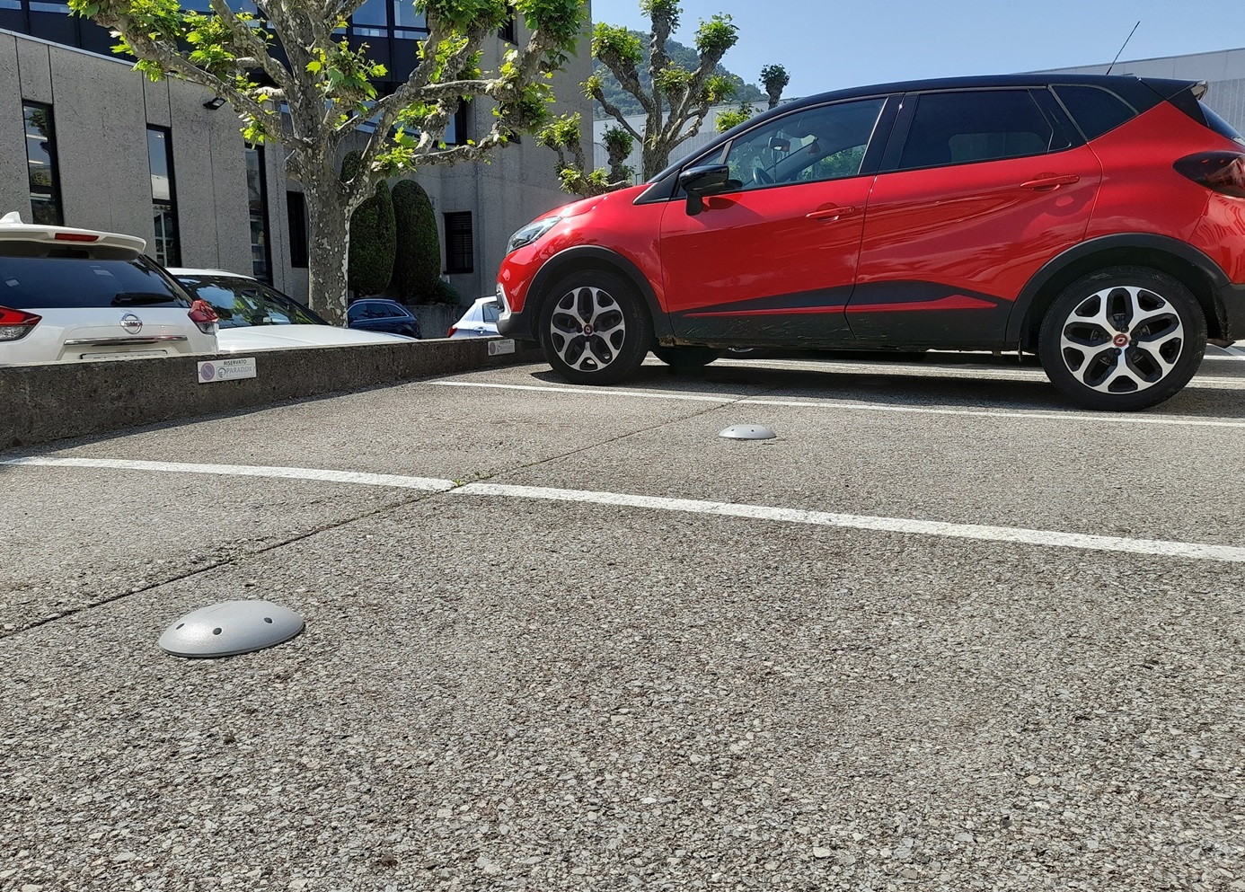
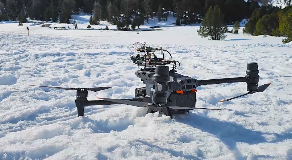
“The performance of our autonomous navigation system has improved markedly,” said Gaetano Calabrò, Chief Technology Officer at Paradox Engineering. “We’re now integrating inertial sensors into ground-based tags to help account for movement and exploring mesh networking between the tags themselves. This opens up the possibility of high-precision localisation in places where GPS is not viable–like tunnels, underground infrastructure, or densely built-up city areas.”
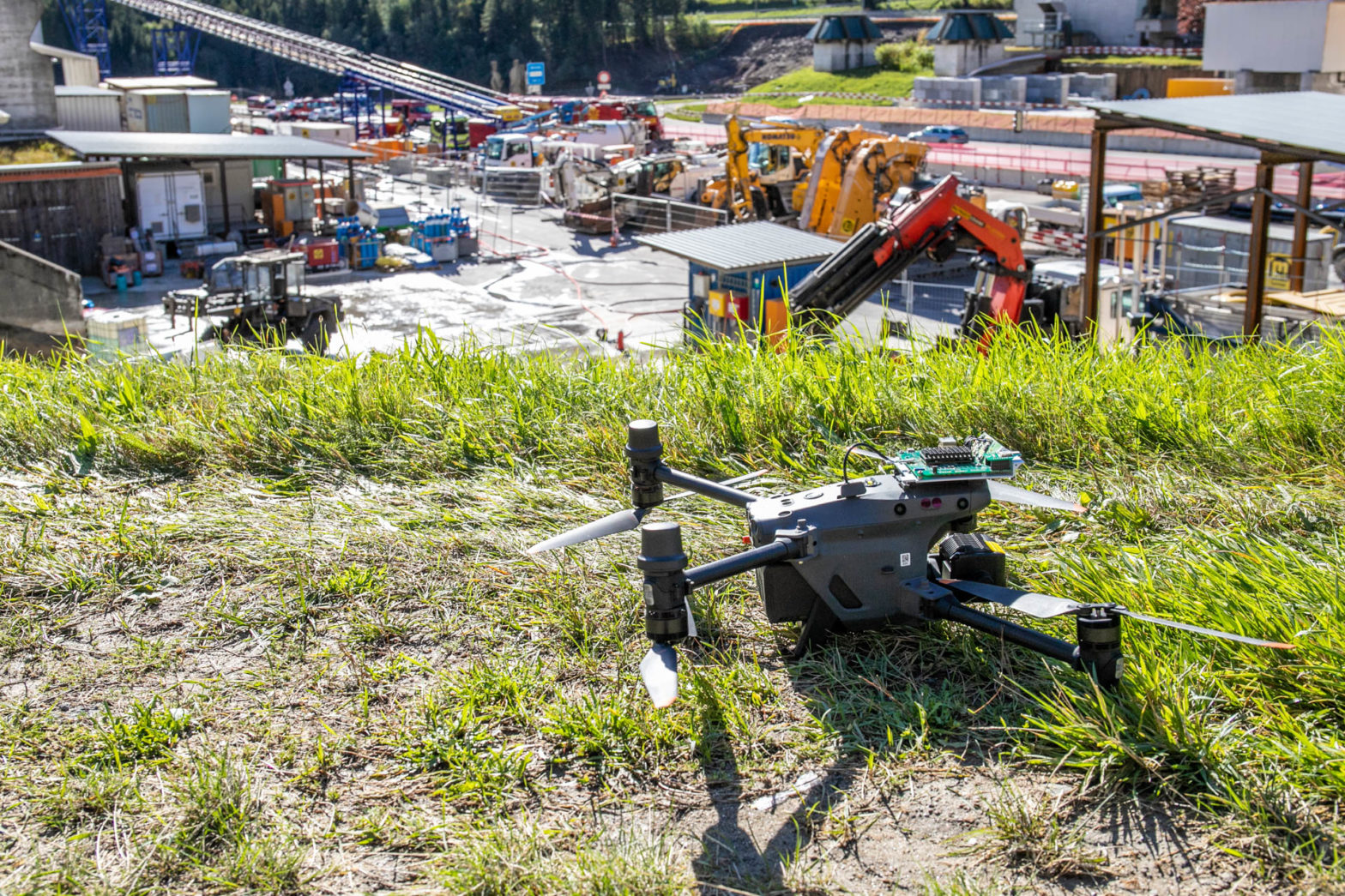
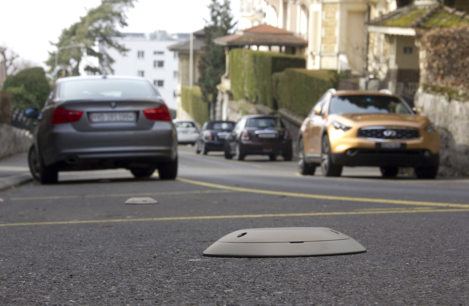
Unlike traditional GPS-reliant systems, Fly-Discovery–a collaboration between the ISEA Institute at SUPSI University and Paradox Engineering, and funded by the Swiss Innovation Agency (Innosuisse)–employs UWB technology to enable centimetre-level accuracy in tracking and positioning. What makes the project stand out is the unconventional use of UWB in a mobile configuration.
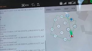
Typically, UWB triangulation relies on fixed anchors at known coordinates. In this case, a mobile anchor is mounted directly on the drone, allowing it to calculate its position relative to static ground tags.
“This required a complete redesign of the localisation logic,” Calabrò noted. “The method was novel enough to be the subject of an international patent application.”
A precision advantage for urban logistics
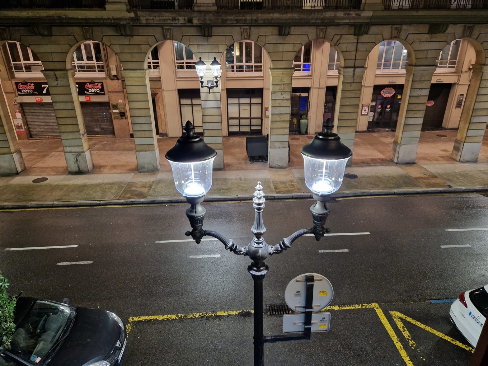
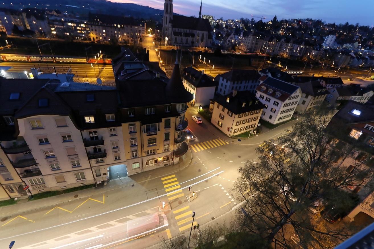
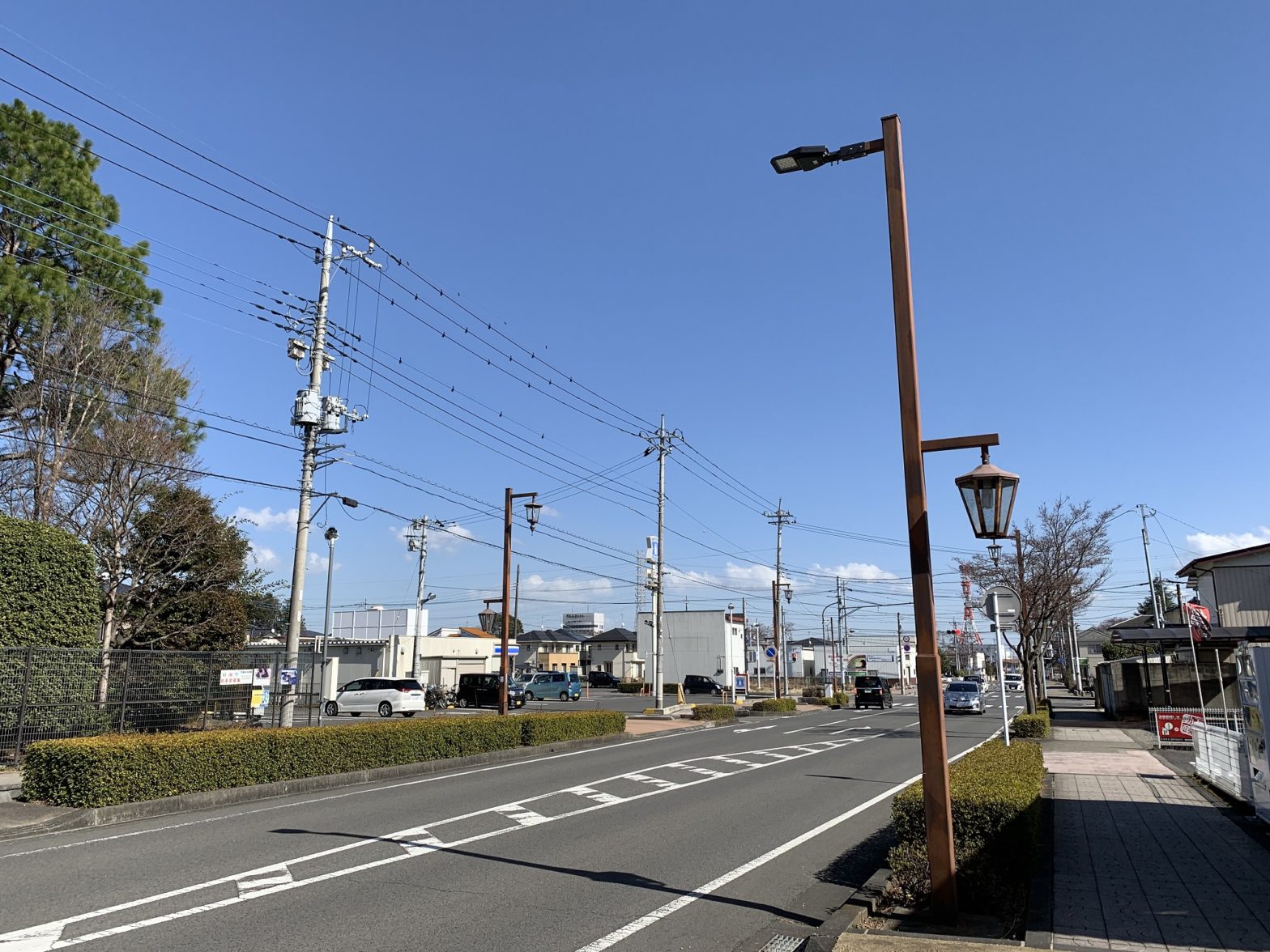
Urban environments, with their high-rise buildings and reflective surfaces, are notoriously difficult for conventional tracking systems. Technologies based on Wi-Fi or Bluetooth often suffer from signal interference and reduced accuracy in such conditions. UWB, by contrast, is less affected by multipath effects–when signals bounce off structures–and offers a far more reliable alternative for dense urban landscapes.
The potential applications of this technology go well beyond navigation. High-accuracy tracking can enable automated last-mile delivery services, particularly for lightweight packages. Calabrò pointed out that drone delivery systems are expanding across urban areas and that enhanced localisation capabilities are key to their success.
“Being able to automate both the delivery and pickup phases is essential,” he said. “With the accuracy we’re achieving, drones can perform these operations without human intervention, even in areas where GPS is unreliable.”
Responding to public-sector needs
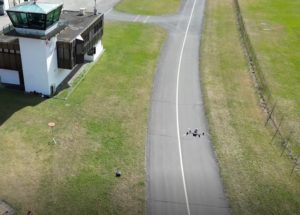
Beyond delivery, use cases include infrastructure inspections, emergency response, video surveillance, and environmental monitoring. A number of these applications are being tested through partnerships with public authorities, including emergency services. In one example, the fire brigade in a Swiss city was involved in shaping system functionalities for search-and-rescue and emergency response operations.

“Many of the features we implemented were a direct response to the operational needs of first responders,” Calabrò explained. “These partnerships ensure the technology is not just innovative but also grounded in real-world utility.”
Paradox Engineering, part of the Japanese group MinebeaMitsumi, has a track record of working with cities to develop scalable, interoperable solutions for smart urban management. The Fly-Discovery project continues this tradition, leveraging both in-house research and collaboration with public-sector partners.
Preparing for the drone-enabled city
With drones expected to play a growing role in city logistics and services, questions of safety and privacy are increasingly front of mind. While Fly-Discovery focuses on localisation technology rather than drone manufacture, Calabrò noted that most commercial drones now come equipped with a suite of safety features.
“Emergency parachutes, flight stability systems in case of motor failure, and redundant control mechanisms are becoming standard,” he said. “These are essential for operating safely in densely populated areas.”
On the privacy front, responsible data handling and adherence to regulatory frameworks are key. As drone-based services expand into monitoring and surveillance, transparency and compliance will be necessary to maintain public trust.
Looking ahead, further enhancements are in development. In addition to UWB, future systems may incorporate radar, LiDAR, and advanced communication protocols to ensure drones remain connected to central management systems at all times.
“The aim is to create a comprehensive technological ecosystem,” Calabrò said. “One that combines sensing, positioning, and real-time communication to support a broad range of smart city functions.”
As the technology matures, the ambition is not just to improve drone performance but to integrate these systems meaningfully into urban life.
“We anticipate significant advancements in IoT-enabled drone technology that will contribute to smarter and more sustainable cities,” Calabrò said. “This integrated technological ecosystem will enhance safety, expand the range of possible applications, and support more efficient and intelligent urban operations.”
All images: SUPSI / Paradox Engineering
Powered by: