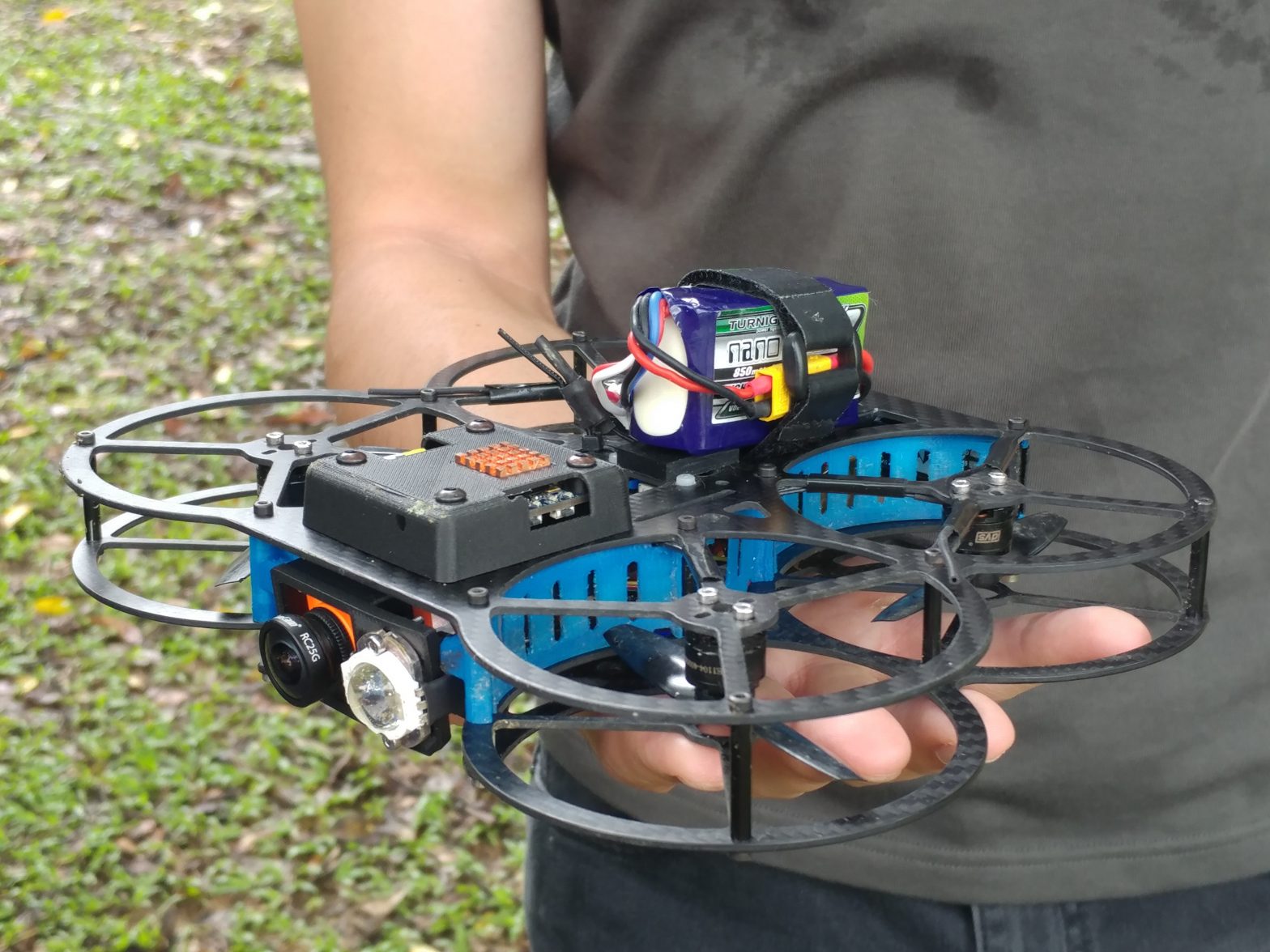
Photo: Microdrone_Credit-NParks
Why Singapore is digitalising its green data
15 October 2018
by Jonathan Andrews
Singapore is set to become the first country to map its whole land mass in 3D. Although Melbourne, New York City and others are taking similar action, the city-state will become the first country to do so.
To better manage and more efficiently maintain its green spaces–at the same time improving urban planning and land use–the ‘City in a Garden’ began to digitalise its data four years ago, part of which includes 3D mapping of trees.
Named as the world’s greenest city by MIT-Senseable City Labs last year, the project continues a tree- and green-focused policy that Singapore began when the former Prime Minister, Lee Kuan Yew, started a tree planting campaign that has helped the city now count six million trees–including two million in urban areas.
Using LiDAR, a laser surveying method which scans the trees, the National Parks Board can then identify and extract the tree data and create models.
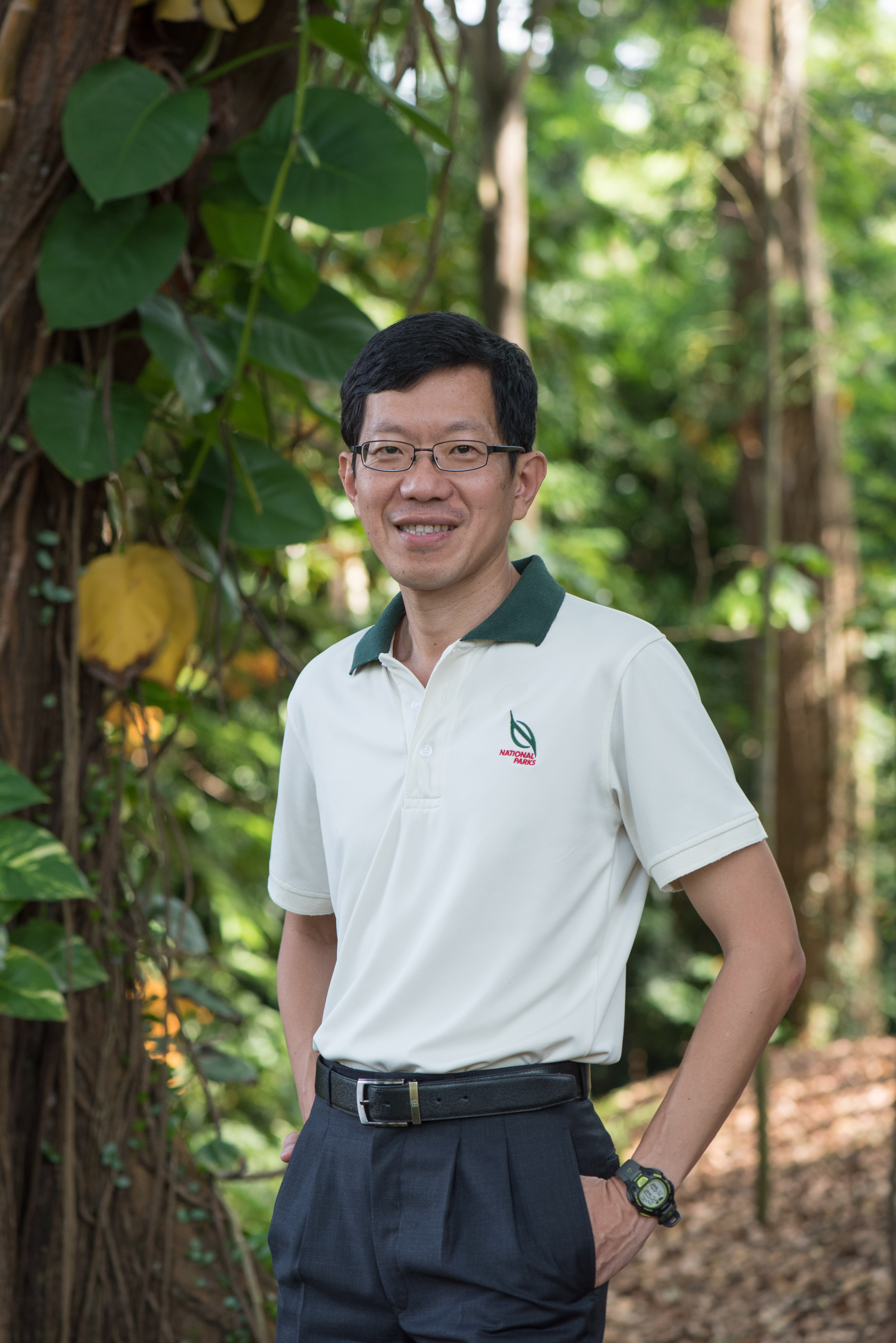
“We manage about 15,500 hectares,” explained Tan Chong Lee, Assistant Chief Executive Officer, National Parks Board. “A lot of the data was previously used in a very bespoke manner, with each sector managing its own data. It was not really shared.”
Since then, the board has worked with GovTech–the agency in charge of digitally transforming government departments–to consolidate this data into a common platform, called MAVEN. Park officials have access to this on their smartphones and computers, and it includes a geospatial database, satellite imagery, and data exchange standards. The public can also report tree issues through the app and website, trees.sg.
“Now, this platform allows each sector to share with each other, with other government agencies as well as the public,” added Tan. “We can identify who is in charge of a particular area.”
Key reasons for moving to digitalisation include a greater need to manage cost of service delivery and to open up new opportunities through digital technologies. The 3D inventory began in 2016 and is set to be complete by next year. It will also help NParks study tree behaviour under extreme conditions, like wind and rain.
With so many trees close to busy roads and streetscapes, Tan takes seriously his responsibility of maintaining healthy trees, with data helping ensure these safety efforts.
New approaches to emerge include more accurate lawn cutting using laser technology, robot lawn mowers, and telescopic video and special lightweight drones to inspect trees.
“We are now testing lightweight drones that can actually fly around the tree and inspect it, and can fly within the tree top,” said Tan. “With the camera and video it allows us to look more closely.”
This has saved the city considerable time and resources, as in the past a team member would have to climb up the tree and manually inspect it.
“Within a matter of minutes we can now take a visual and identify defects in the tree,” said Tan.
He added that the digitalisation plan is “all part of nurturing a biophilic community, by establishing a virtuous cycle between the flourishing of our green spaces and the enhancement of civic ownership”.