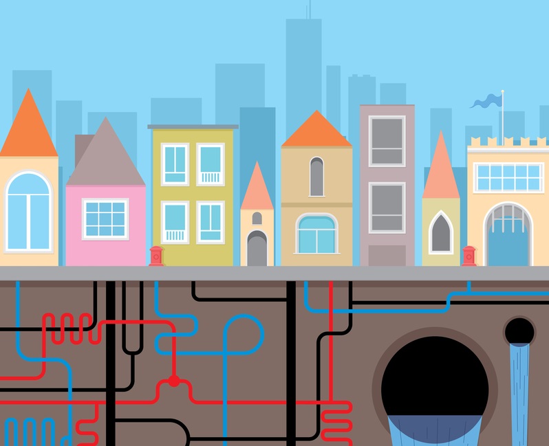
What lies beneath: UK to digitally map underground assets
09 September 2021
by Sarah Wray
The UK government’s project to create a digital map of underground pipes and cables is entering the build phase.
The National Underground Asset Register (NUAR) initiative aims to simplify the maintenance and installation of gas, water, electricity and telecommunications infrastructure.
Over four million holes are dug in the UK each year — many in the wrong place — and the economic cost of accidental utility damage is estimated at around £2.4 billion (US$3.3 billion) each year.
Unforeseen ground conditions are also a major obstacle to construction and housing projects, especially on previously developed land.
The government says fast access to data from the NUAR will save utility companies and local authorities time and money, and reduce disruption.
Once operational, NUAR is forecast to deliver around £350 million per year in benefits.
The digital map will be built over the next three years, starting in the North East of England, Wales and London. The Geospatial Commission will be working with the Welsh government, Tees Valley Combined Authority and Greater London Authority and has appointed Atkins for the build phase.
Nigel Clifford, Deputy Chair of the Geospatial Commission, said: “Our National Underground Asset Register will be a momentous step towards providing the UK with a shared national data asset of significant value.”
Ben Houchen, Mayor of Tees Valley, added: “This new service will mean less mistakes are made when digging holes and less disruption to local people.”
Milan’s underground map
To speed up and simplify the approvals process for excavation work, Milan in Italy is one of the first cities to develop a mapping tool that combines newly digitised information about the cables, pipes and other critical infrastructure that runs beneath the city’s streets and surface-level geospatial data about the built and natural environments.
As well as preventing damage and delays from excavation and construction, the city said the system also helps officials to plan more effectively for the impacts of climate change and save time and money by making it easier to design and execute public and private works.
The tool has enabled over 40 individual approvals to be streamlined into one end-to-end digital process.
Milan is also applying its recently developed Digital Sustainability Model to the system. The model calculates the outcomes of digitalisation in terms of time, money and emissions saved.
Image: | Dreamstime.com