New tool helps cities to visualise climate challenges
29 October 2024
by Jonathan Andrews
A new interactive tool that provides local authorities with simplified access to tailored information on climate change has been launched to support local climate change adaptation planning.
The Met Office, the UK’s national weather service, and Esri UK have built the new operational service to help local authorities visualise climate challenges, explore climate projections and communicate a climate story specific to their local areas.
Called the Local Authority Climate Service (LACS), users can generate a report that includes information on national and local climate changes. The report provides insights into the weather and climate hazards that may affect local area.

“The LACS can be used alongside other geospatial datasets that councils may use for service or development planning, for example, estates, assets, and social care,” Victoria Ramsey, Government Strategic Account Manager, Met Office, told Cities Today. “The LACS has been developed so that the underpinning data can be accessed and downloaded from the Climate Data Portal and integrated within any existing GIS platforms the council may use. Many local authorities are developing Local Plans, adaptation and resilience strategies.”
Ramsay, who worked closely with local authorities to develop the new service, highlighted Milton Keynes City Council which has been using the data to assess risks to their waste services.
“The local Climate Reports … provide an evidence base to inform about local resilience to climate change,” she said. “Projection ‘results’ can be incorporated into Local Authority adaptation planning and resilience strategies, [and] provides information that service providers can use to assess risks to service delivery.”
The tool, funded by the UK’s Department for Environment and Rural Affairs, will play a crucial role in achieving the National Adaptation Programme and with its geospatial software makes the data easier to use, opening it up to a broader audience. It also makes it easier for businesses or government organisations to combine open climate data with their own.
The service is now fully available for use and as the Met Office learns more about user requirements, feedback is invited to help drive further improvements.
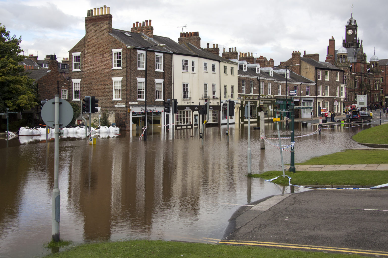
“Climate change is presenting local authorities across the UK with a range of challenges, from increased flooding risks to soaring temperature,” she said. “Each authority must consider how resilient they are to our changing climate and they are increasingly required to report on their actions to adapt to it. [The LACS] will help them do this.”
Image: Steve Allen | Dreamstime.com


