Photo: ©EUSPA
Building more sustainable cities with space data: how the ARIADNA project facilitated the uptake of Galileo
17 November 2021
Our cities are changing. Thanks to trends such as Mobility as a Service and shared and micro-mobility, the urban mobility landscape is evolving faster than ever. In a world that is increasingly connected and tech-savvy, passengers more than ever expect a mobility offer that integrates different modes of transport, is tailored to their lifestyle, and creates a seamless door-to-door journey.
Improving journeys with space data
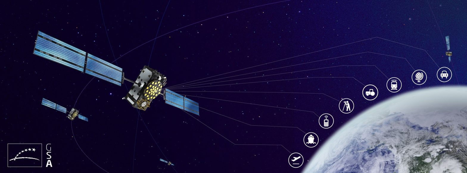
To enhance mobility services and even enable new ones, accuracy, integrity, and continuity of the geolocation signal must be ensured, especially in dense urban contexts. Enter Galileo, or the European Global Navigation Satellite System (EGNSS), which along with the Satellite-Based Augmentation System EGNOS, constitutes Europe’s satellite navigation programme.
Galileo provides improved positioning information, with significant positive implications for services and users. This is due to many technical features of the system, one being that Galileo has higher resiliency against multipath errors (errors caused when a satellite signal reaches the receiver from two or more paths) than other systems, meaning location is determined more precisely.
Also, the Navigation Message Authentication, which will be available between 2022 and 2023, is a key added-value feature of Galileo in comparison with other GNSS, as it has the potential to enable a whole range of applications that are not possible today. It allows a GNSS receiver to verify the authenticity of the GNSS information and of the entity transmitting it, ensuring that it comes from a trusted source.
Galileo has been operational since December 2016 and can be used in combination with GPS satellites (or any other constellation) via multi-constellation, multi-frequency receivers, already a widespread, cost-competitive market solution.
The ARIADNA project facilitated the uptake of Galileo
Launched in 2019 and funded by the EUSPA (the European Union Agency for the Space Programme), the ARIADNA project aims to support the adoption of EGNSS for public transport and urban mobility solutions.
Alongside raising awareness on Galileo, key for the ARIADNA project was to build capacity in the sector and facilitate EGNSS deployment. Throughout its lifetime, the project has released various key reports about EGNSS technologies and its applications and benefits.
ARIADNA also developed the Galileo Demo Kit (GDK): a complete hardware and software solution that can be used to showcase in real time the difference in positioning performance between a multi-constellation receiver compared to a GPS-only receiver. The GDK is available to all stakeholders interested to evaluate the increased performance of Galileo-enabled receivers in their concrete applications.
 At the moment, two bus operators, one railway operator and one carsharing company have already shown interest in seeing how the GDK would perform on their services. ARIADNA is in conversations with each of them to run demos that will show how they could benefit from the leading edge of positioning technology.
Furthermore, ARIADNA has gathered concrete experiences of urban mobility players integrating Galileo to improve their mobility services, in particular public transport, shared mobility, and mobility on-demand. The return of experience has been shared among key stakeholders, including policymakers, public transport operators and authorities worldwide.
In Barcelona, TMB (Transports Metropolitans de Barcelona) integrated novel multi-constellation receivers in their bus on board equipment in 2016. Since then, the operator has seen important improvements in geolocation precision, benefitting fleet management and real time passenger information. Additionally, in their underground depots, the use of multi-constellation receivers equipped with other sensors, has reduced the time needed to locate buses and therefore improved depot operations. Here you can find an in-depth interview with TMB on how Galileo benefits their bus fleet.
Another interesting example comes from satellite data solutions provider Blue Dot Solutions, that uses Galileo for their Internet of Things (IoT) solution for trams and buses in the city of Gdansk, Poland. By integrating Galileo, the device can detect obstacles on city roads with great precision and monitor driving habits, hereby increasing the safety and efficiency of public transport. For further information on how Blue Dot Solutions uses Galileo, check out the interview here.
Overall, EGNSS has enormous potential to positively impact all existing applications benefitting from satellite technologies and open the way for new applications and services in the urban mobility and smart city context.
ARIADNA has received funding from the European Union Agency for the Space Programme (EUSPA) under grant agreement No 870264.

![]()