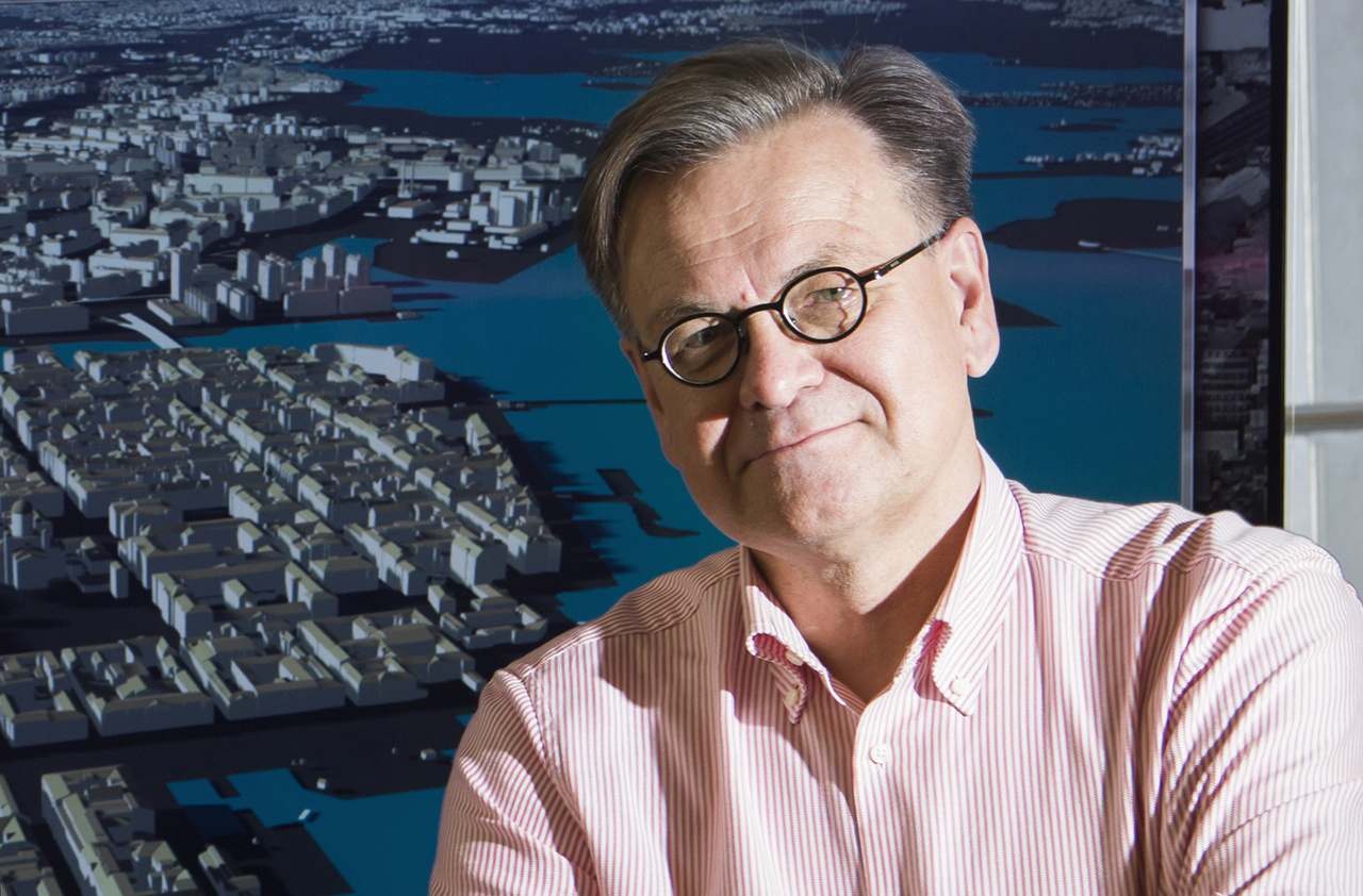
Photo: 01_Jarmo_Suomisto-2_Easy-Resize.com_
How Helsinki is using 3D models to assist urban planners and citizens
24 May 2017
by Nick Michell
Helsinki has launched a new communications platform for its residents based around its pioneering work with 3D modelling.
The new platform mallikaupunki.fi/oulunkyla shows aerial shots of Oulunkylä, a northern suburb of the city, where a light rail line and other developments are planned so that residents can express their opinion on the vision for the area’s development.
The platform is based on the Finnish capital’s long-term work with modelling tools that were originally used for architectural competitions. Since the late 1980s, the city has developed two models: one city information model (CIM) which connects all the asset data within the city’s infrastructure based on an industry open-source standard CityGML; and the second, a 3D reality mesh, which is produced through the capture of digital photos, and allows the city to provide highly accurate depictions of buildings and streets. The models can be used for multiple applications including to assist with urban planning, for carbon emissions tracking, for the analysis of energy use or the impact of transport, and by insurers, who are able to accurately quantify the size of buildings and the risks inherent to them.
“The CIM is more for analysing the city for carbon emissions and the reality mesh is for visual stimulation,” explains Jarmo Suomisto, an urban planner for Helsinki from the City Executive Office, who has led the development of the models. “We are the first city in the whole world that delivers both of these models as open data.”
One of the city’s key partners in developing the models has been Bentley Systems. Aidan Mercer, Industry Marketing Director for Government at Bentley, says that the CityGML model has taken many years to develop but the 3D mesh, which is overlaid on top of the GML model, was completed in a relatively short time.
“They captured over 50,000 images of the city and handed them over to us and we experimented to produce a geometrically detailed and accurate city mesh,” says Mercer. “We have been working hard with the city to make sure data formats are interoperable with their other applications.”
The open source nature of the models has opened up the possibility for collaboration with other cities and partners. Helsinki has worked closely in particular, with Rotterdam, Hamburg, Vienna and Singapore and is now acknowledged as a world leader.
“We are now a little bit ahead of the others so we can help them design a reality mesh,” says Suomisto. “We have had two people working on this for two years at the cost of about 1 million euros so it really costs less then people imagine.”
Developments for the reality mesh include being able to capture water features and the city is also planning to take infrared photos to identify where energy is leaking or being wasted.
Mercer sees big potential for cities in the use of the reality mesh tool.
“Their job as urban planners [in Helsinki] has moved entirely into 3D modelling and making it available to the public was their biggest goal so anyone can go in and look at the data,” says Mercer. “There has been a lot of stuff around smart cities and around connecting information technology and operational technology to make smarter decisions but where we see it is in connecting engineering technology. If you include engineering technology, you have a much stronger breadth to make intelligent decisions.”