Helsinki e-scooter trial pinpoints risk beyond crash data
18 December 2025
by William Thorpe
Helsinki has published early findings from an e-scooter safety pilot first reported by Cities Today when it launched in June, with sensor data now confirming that complex infrastructure, peak commuting periods and wet weather pose the greatest risks for riders.
“This completely novel dataset provides evidence where e-scooter riders are constantly forced into harsh braking, swerving, or where road surfaces cause instability in riding,” Noora Reittu, Senior Project Manager, Forum Virium Helsinki, told Cities Today. “This information, in turn, can be used proactively in planning of street design or guidance.”
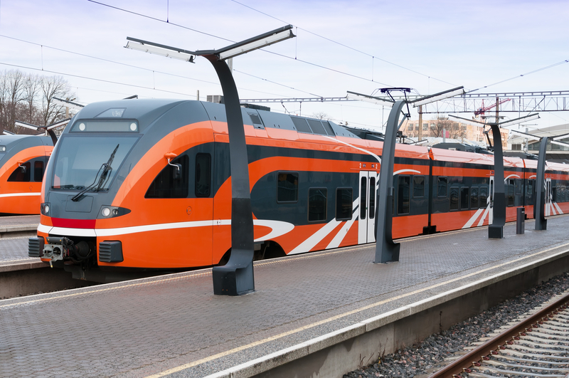
The Safety Sense Helsinki pilot was launched under the EU-funded ELABORATOR project as a six-month trial using AI and real-time data to identify safety risks before they appear in official accident statistics. The project equipped 40 Tier-Dott shared e-scooters with See.Sense AI sensors and integrated the resulting data into Vianova’s analytics platform to support city-level planning.
Data collection ran for around three months, covering roughly 2,500 trips and 4,500 km across Helsinki’s city centre and nearby districts. The sensors record up to 800 data points per second, allowing the system to distinguish between normal riding and rapid evasive manoeuvres such as harsh braking or swerving.
Key findings from the pilot include:
- Sensor-based data captured near-misses and minor incidents that are not reflected in traditional police or collision reports.
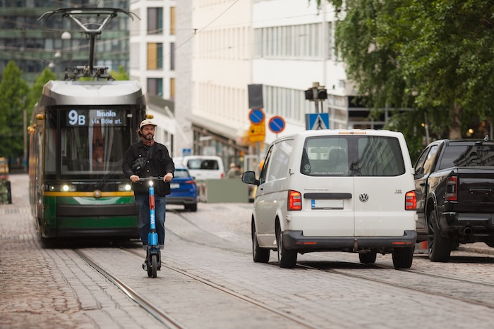
- High-risk hotspots were identified in locations with complex infrastructure, including junctions, pedestrian crossings, underpasses, tram tracks and cobblestone streets.
- Risk was highest during weekday peak commute periods, with the morning peak showing greater intensity than the evening.
- Wet weather significantly increased instability, with harsh braking events rising by around 1.7 times and swerving events by more than double.
- Locations associated with wet-weather risk often differed from those identified in dry conditions.
- Around 10 percent of unusual riding events occurred within low-speed zones, highlighting the interaction between geofencing and pedestrian-heavy environments.
- GPS inaccuracies were shown to affect riders on adjacent cycle lanes, creating unintended impacts from categorical speed restrictions.
From a Vision Zero perspective, the findings provide evidence to assess whether streets designed primarily for cars and pedestrians are also functioning safely for lighter modes. The data can inform more targeted maintenance, surface treatments, junction design and operational adjustments, alongside existing measures such as time-based e-scooter restrictions.
The pilot also delivered new insight into the design of digital regulation. While it is too early to say whether Helsinki will redesign its geofencing approach, the city now has data-driven information to support future decisions on how digital speed limits reflect real-world street conditions.
Reittu added: “This sensor data fills those gaps by capturing real-world behaviour, such as sudden braking and dangerous swerving, before accidents occur.”
Forum Virium Helsinki, the City of Helsinki’s innovation company, led the pilot in partnership with Tier-Dott, See.Sense and Vianova. Its role is to act as an enabler, using Helsinki as a testbed for emerging technologies and presenting pilot findings to the city and other authorities.
Image: Igor Väisänen/Forum Virium Helsinki