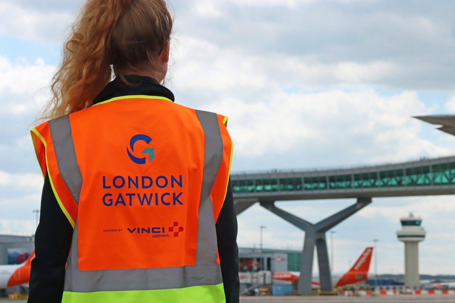
Gatwick airport launches new GIS geospatial platform
17 April 2024
by Jonathan Andrews
A new geospatial platform will reduce the risk of airport disruption at London Gatwick’s airport from accidental damage to utilities, and improve engineering and environmental services.
The system, which uses Esri UK’s ArcGIS, is already making engineering and construction works safer by reducing accidental strikes on buried utilities and enabling better management of the airport’s biodiversity.
The geospatial platform contains critical infrastructure information spanning the 70-year history of the airport, including BIM, CAD, utilities, environmental, aerial photography and legacy data. It can integrate all spatial data into a single view, combined with advanced spatial analysis tools, and mobile apps and dashboards.
Simon Richardson, Digital Information Lead, at London Gatwick Airport told Cities Today that buried assets are a critical challenge for airports.

“If you don’t have an accurate understanding of where they are, accidental strikes could lead to disruption and delayed flights,” he said. “Due to the complex nature of underground assets, built up over time, it’s essential to have one version of the truth that everyone can easily share and work with.”
He added, the solution is to make the data more available to those that need it as in the past, paper and paint markings on the ground would be used but with the new platform it is now possible to quickly see what’s under foot and interrogate it.
“It saves a significant amount of time as the data is instantly available to view on any device,” he said.
Over time, the system will become available to more departments with further data added, and will not be just focused on engineering, construction and environment. As new data is added, new online maps or ‘web maps’ can be quickly created which are tailored to a specific user group.
In addition to Gatwick other customers using Esri UK’s ArcGIS include Heathrow, Manchester Airport Group, Dublin Airport and the company also works with Schiphol and San Francisco International.

“Management of transportation hubs such as airports, ports, rail and urban terminals all benefit from geospatial technology as it helps them to connect, share and interrogate their built and natural data in the same system,” Chris Barber, Head of Transport and Infrastructure, Esri UK, told Cities Today.
“Airports are similar to cities due to their multi-faceted nature, from planning, construction, operations and maintenance to retail, property and transport. They also have extensive supply chains, working with hundreds of partners, suppliers or contractors. GIS connects all of these disparate data sets to create a single version of the truth and drive powerful new insights.”
Future plans include using the geospatial system as a planning tool for estate-wide works, including runway maintenance and repairs and making the data available to local planning authorities bordering the airport to help streamline their planning process.
Image: London Gatwick