Operator data unlocks new transport insights
13 July 2026
by William Thorpe
Access to millions of shared mobility journeys is changing how cities can plan transport networks, according to new research from ETH Zürich, with pilot projects in Hannover and Seville producing recommendations that researchers say would not have emerged from traditional transport data alone.
Published by the Sustainable Urban Transitions (SUT) Lab, the research demonstrates how proprietary data from a shared mobility operator can complement traditional city transport datasets, providing evidence to support decisions on mobility hubs, parking policy, cycling infrastructure and road safety.
“The best example is the use of micromobility data, including GPS tracks, telemetry data and in-app surveys. These datasets cover millions of data points that allow a spatially and temporally rich study of travel behaviour, route choice and safety,” an ETH Zürich spokesperson told Cities Today.
The first two pilot projects, launched in Hannover and Seville in 2025, combined Bolt’s operational data with city information and simulation modelling to test how richer datasets could improve transport planning.
In Hannover, the analysis identified locations for new mobility hubs that differed from where planners may traditionally have focused investment, with the highest-impact sites largely located in peripheral areas rather than the city centre.
“The findings was not necessarily a surprise,” the spokesperson said. “We expected that some peripheral areas would show to be underserved by mobility services and therefore the development of mobility hubs would be more impactful there.
“The ‘surprise’ was that we could quantify clearly that the accessibility gains of peripheral mobility hubs was very large. Traditionally, multimodal hubs are often planned around the most visible or busiest central nodes. Our simulation showed that, from an accessibility perspective, the strongest improvements can occur where people currently face longer walking distances to reach good public transport. In Hannover, micromobility can extend the effective catchment of light rail and regional rail stops, especially in peripheral areas.”
The study also found that 56 percent of shared micromobility trips connect with public transport, while only 2.5 percent compete with it. Simulation modelling suggested that universal first and last-mile connections could reduce car trips by 14 percent and increase public transport use by almost 20 percent.
Operator data also enabled researchers to measure the impact of Hannover’s micromobility parking regulations, providing quantitative evidence to support future policy decisions.
“Maybe the more concrete example of a recommendation that would not have been possible without Bolt’s data is the study of the effectiveness of the micromobility parking policies in Hannover,” they said. “This provided quantitative evidence of the beneficial impacts of such regulations that will help the design of future urban interventions, that can also be studied with operator’s data.”
In Seville, analysis of 90,000 e-bike trips confirmed that cycle lane availability is the strongest predictor of where people choose to ride. The research also used telemetry data to identify locations where safety risks may exist before they are reflected in official crash statistics.
“The immediate value is that the cities no longer have to wait for crashes to occur and published crash statistics to reveal a potential safety problem,” the spokesperson added. “More than specifying locations that require improvement, the objective was to show the cities how these datasets can help provide another, more proactive, perspective on micromobility safety and we hope we can continue collaborating with more cities in this regard.”
Beyond the findings from Hannover and Seville, the researchers argue the same approach should become part of how cities assess major transport projects.
“This should become a standard decision-support tool, particularly for complex projects such as metro expansions, mobility hubs or road space reallocations,” they said. “These models do not replace political decision-making, but they make the assumptions behind major interventions much more transparent.”
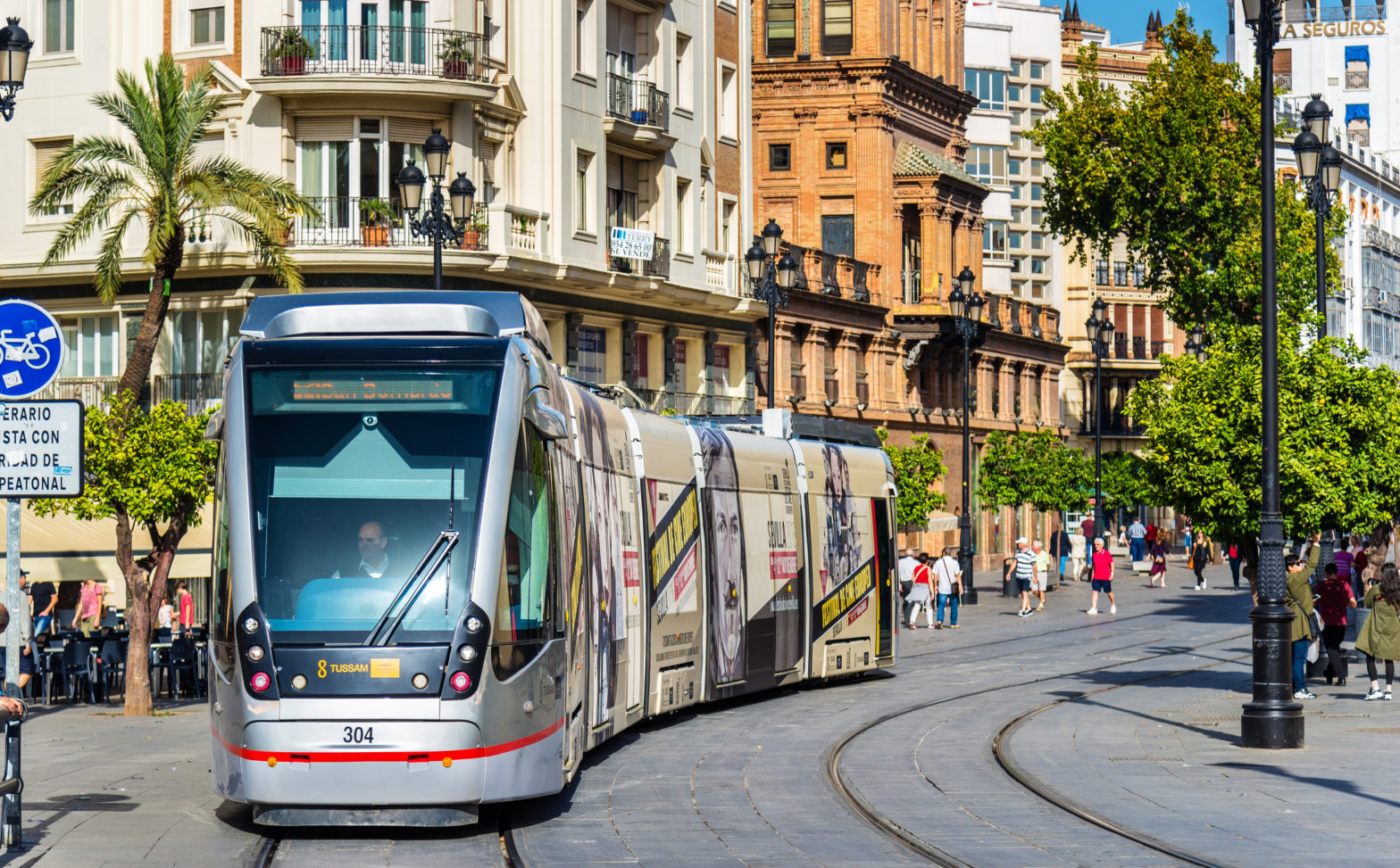
In Hannover, simulation helped identify where mobility hubs could produce the largest accessibility gains. In Seville, the simulations tested how Metro Lines 2 and 3 could shift trips from car to public transport and where those gains would be strongest.
Following the completion of the Hannover and Seville pilots, the SUT Lab will continue its collaboration with Seville and has launched a new project with Lisbon focused on Sustainable Urban Mobility Plan-related city-centre street interventions.
Image: Leonid Andronov | Dreamstime.com