Port Authority deploys ASL and navigation tools across transit system
13 March 2026
by William Thorpe
The Port Authority of New York and New Jersey is scaling two accessibility technologies across its transport network following successful pilots aimed at improving communication and navigation for passengers with disabilities.
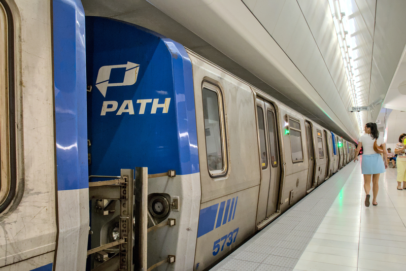
The rollout will introduce 24/7 American Sign Language (ASL) interpretation services across major Port Authority facilities through technology from Convo Communications, while indoor navigation tools developed by GoodMaps will expand to all stations on the PATH rail system.
Both companies are alumni of New York’s Transit Tech Lab, an initiative founded by the Partnership Fund for New York City and the Metropolitan Transportation Authority to accelerate innovation in public transit systems.

“Convo rolled out American Sign Language interpreter services across 16 Port Authority locations, installing 729 access points via QR codes across JFK, LaGuardia, Newark Liberty International Airport and the Midtown Bus Terminal,” said Keith Armonaitis, Principal Business Systems Analyst in the Port Authority’s technology department, speaking to Cities Today.
Passengers can scan the codes at customer service points to connect instantly with a live interpreter through video, allowing staff to communicate directly with deaf and hard-of-hearing travellers. Early results from the pilot showed strong engagement. Convo’s promotional video announcing the service reached more than 330,000 people on social media in a week and generated more than 400 positive comments. Within the first month of operation, the service supported 44 customer interactions.
“Qualitative feedback captured from these customers highlighted the value of the tool, reporting they felt ‘seen, empowered, and grateful’ for the service,” he said.
GoodMaps’ technology will expand following a successful pilot at the busy Hoboken terminal in New Jersey. The company carried out a LiDAR scan of the station to build a highly detailed digital model of the facility.
“GoodMaps completed a LiDAR scan of the Hoboken terminal… to support the development of a customised, accessible indoor navigation tool in the GoodMaps app,” he added.
The scan produced point cloud imagery and CAD drawings used to create an augmented reality navigation system designed to help passengers move through complex transit facilities. The tool provides turn-by-turn directions through audio, visual and augmented reality prompts, helping riders navigate features such as platforms, lifts, exits, ATMs and customer service areas.
Both platforms are designed to integrate with real-time operational data, allowing passengers to receive alerts about delays, service changes and other disruptions directly through the tools.
“Determinations on permanent systemwide solutions are based on pilot key performance indicators, operational efficiency gains, stakeholder feedback, and the technology’s ability to deliver measurable value,” Armonaitis said.
Main image: Yuriyt | Dreamstime.com