New York releases more easily accessible datasets
24 September 2024
by Jonathan Andrews
New York City’s Office of Technology and Innovation (OTI) has released its 2024 Open Data Report which provides new datasets on algorithmic tools, capital projects, and flood mapping, and outlines efforts to consolidate existing datasets to help New Yorkers find information more easily.
“Technology is central to this administration’s efforts to improve service delivery and daily interactions between New Yorkers and their government,” said Matthew Fraser, the OTI’s Chief Technology Officer. “As this year’s Open Data Progress Report demonstrates, we’re focused on making the information our residents care about more easily accessible to them.”
Earlier this year, OTI and co-hosts BetaNYC and Data Through Design welcomed nearly 5,000 participants to Open Data Week 2024. The call for proposed events, workshops, and artistic expressions for Open Data Week is now ongoing through to the end of October. And the office shared details of and invited comments on planned updates to the Technical Standards Manual, which sets standards, processes, and guidelines that city agencies use when making their data publicly available.
“NYC Open Data is bigger, better, and more accessible than ever because of the people inside and outside government who are continually working to improve it,” said New York City’s Chief Analytics Officer, Martha Norrick. “Our team believes that truly opening data means more than just making information available, and to that end we have spent this year improving our help desk, updating guidance for city staff, and consolidating 524 separate datasets into just 34 containing all the same information.”
Some of the newly published datasets and projects featured in this year’s report include:
- A dataset incorporating algorithmic tools used by New York City
- A dataset of NYC capital projects with an accompanying dashboard that helps New Yorkers track the progress of municipal construction
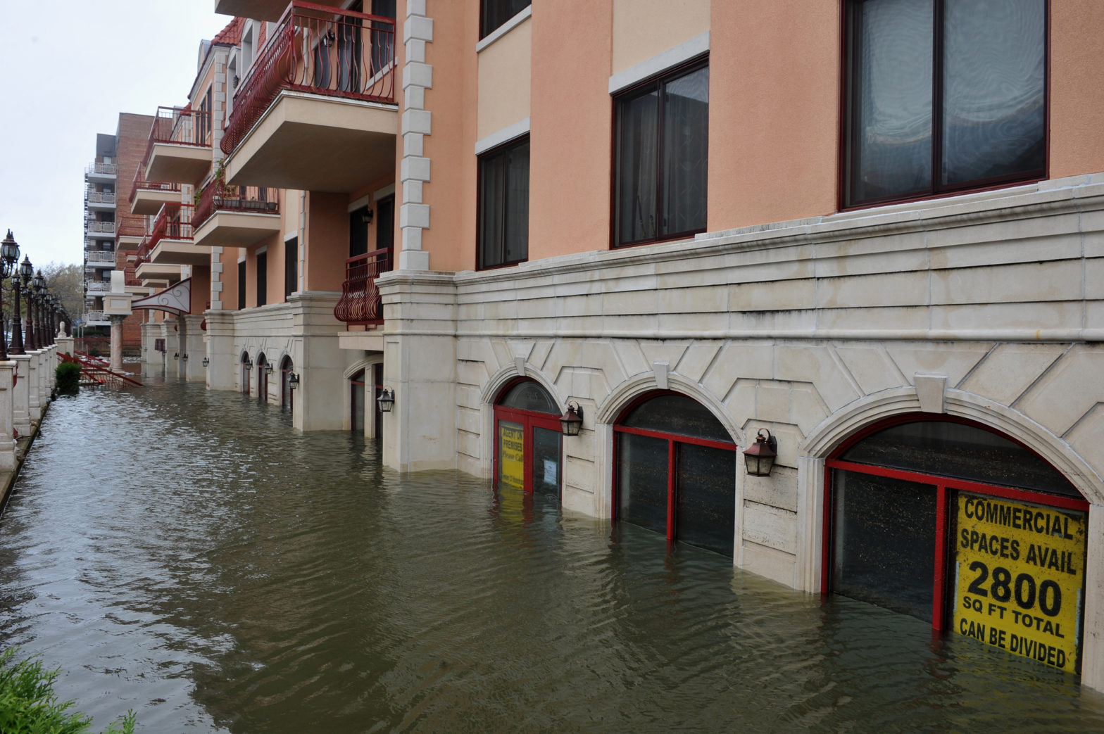
- The Environmental Justice NYC Flood Vulnerability mapping tool
- Results from the New York City Department of Transportation’s Citywide Mobility Survey
- The Vital Parks Explorer, which gives residents the ability to examine how NYC Parks defines, measures, and invests in public spaces.
- A dataset containing information on all the public restrooms accessible to New Yorkers.
Image: Denisismagilov | Dreamstime.com


