New technologies tackle urban heat and tree health
26 October 2026
by Jonathan Andrews
A new mapping tool that helps pedestrians avoid dangerously hot streets has identified cooler walking routes in more than 95 percent of simulated journeys in Brooklyn, New York.
The technology, called CoCo: Heat Minimizer, analyses street temperatures to identify routes that reduce exposure to extreme heat, offering potential applications for city governments seeking to protect pedestrians during heatwaves.
Developed by researchers from Cornell University, the City University of New York and the University of Washington, CoCo is among 100 innovations selected for the Dubai Future Solutions–Prototypes for Humanity showcase, taking place from 18 to 21 November.
“Because CoCo relies on public satellite data rather than new sensors, it can be set up for a new city quickly and at low cost,” Lenny Metlitsky, Cornell University and Eco Rising Solutions, Dr Hamidreza Norouzi, City University of New York and Eco Rising Solutions, and Matthew Bilik, University of Washington, told Cities Today.
Computer simulations covering 1,000 randomly selected walking trips in Brooklyn found that the coolest routes had an average surface temperature of 27.6°C, compared with 29.9°C for the shortest routes.
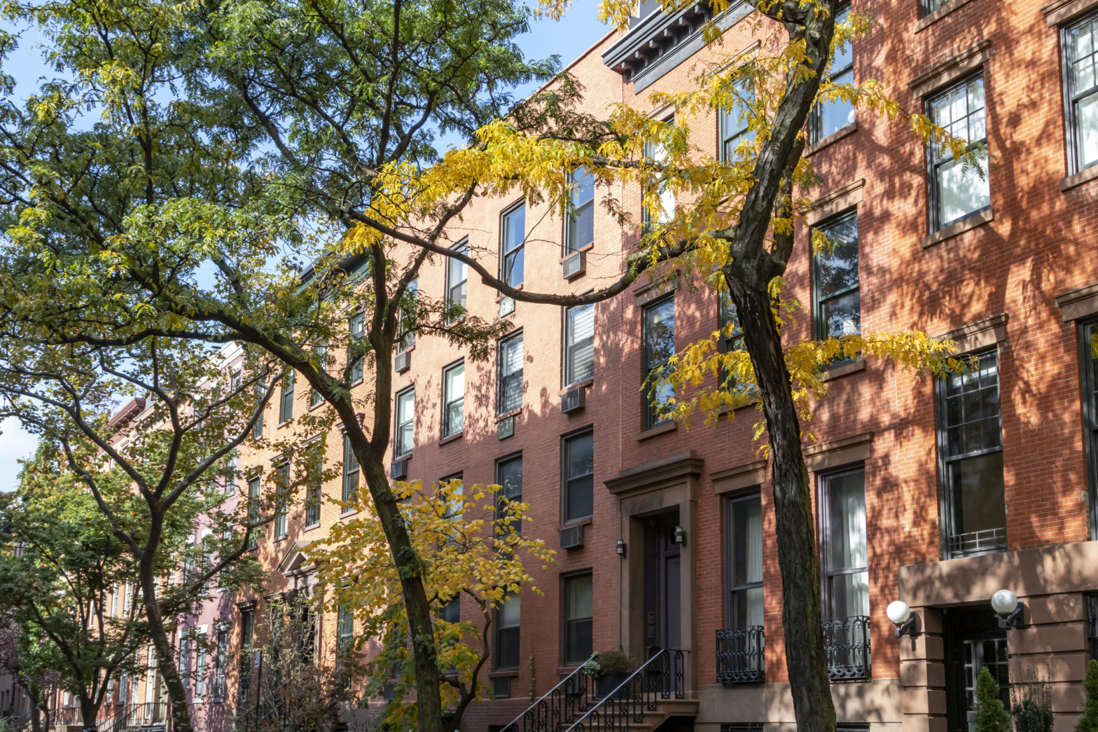
“Heat on foot is about how a street feels, not the temperature reported for the city,” the researchers said. “What a pedestrian feels depends on surface heat, shade, wind and humidity, and shaded, tree-lined streets are often several degrees more comfortable than exposed ones.”
They added: “City planners and municipalities can use CoCo’s street-level heat layer to see which corridors become dangerously hot and decide where tree planting, shade structures and cool pavements will do the best.”
The researchers have mapped heat exposure along walking routes serving 581 Brooklyn schools. CoCo is configured for five cities, including New York, Los Angeles and Dubai, with potential pilots under discussion.
Monitoring urban tree health
Another innovation selected, Greenery Scanner, uses vehicle-mounted multispectral sensors to detect signs of stress in urban trees.
Developed at MIT, the system has undergone testing in Boston, Cambridge and Rome, where researchers assessed 84 trees and compared its findings with inspections by licensed arborists and drone surveys.
Professor Simone Mora told Cities Today: “[The technology] observes the lower and lateral parts of the canopy, where early signs of stress may appear but can be less visible from satellites or drones.”
Combining vehicle-mounted and drone data reduced false alarms, suggesting the technologies could complement traditional inspections.
Mora said: “[It] aims to fill these gaps because it can be mounted on vehicles that already travel through the city every day, such as municipal maintenance fleets, delivery vans or taxis.”
With hardware costing less than US$1,000 per unit, the technology could enable more frequent monitoring without requiring dedicated inspection routes.
“This could enable repeated monitoring of extensive road networks without creating a dedicated inspection route or flight campaign each time,” Mora said.
The two projects are among 100 innovations selected from thousands of applications involving more than 1,000 universities worldwide. The Dubai programme connects academic researchers with governments, investors and industry partners to help turn emerging technologies into practical applications.
Image: Ryan Deberardinis | Dreamstime.com