Photo: NACTO
New data standard aims to simplify kerb management
31 January 2022
by Christopher Carey
A new open-source data-sharing tool to enable dynamic kerb space management has been launched by non-profit the Open Mobility Foundation (OMF).
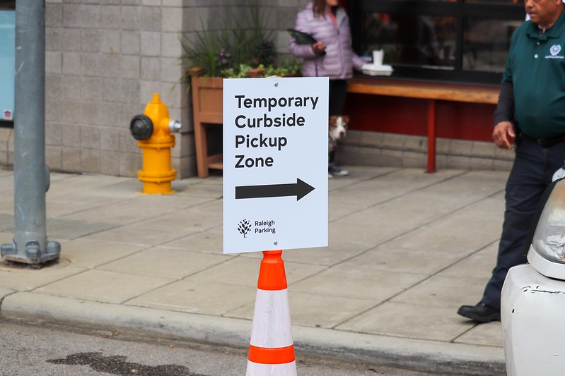
The Curb Data Specification (CDS) will provide a mechanism for cities to express kerb regulations, measure activity, and develop policies to optimise space usage.
It is the result of more than a year of collaborative work between the OMF and cities including Los Angeles, San Jose, Miami, Seattle and Omaha.
Speaking to Cities Today, Angela Giacchetti, Executive Director of the Open Mobility Foundation, said: “While kerb management has long been a function of cities, pandemic challenges put even more stress on already scarce urban kerb space, and that, combined with advancements in technology that are reshaping our transportation systems, created a real sense of urgency around helping cities and companies come together to find solutions to common kerb management pain points.
“The OMF provides a unique facilitation and a governance model that allows these kerb stakeholders to come together to build tools that meet the needs of cities and industries alike.”
Companies including Ford AV, Waymo, Automotus, and Populus are part of the CDS Steering Committee, collaborating with cities on how to develop and expand the standard.
The OMF – which was founded in 2019 – also governs the Mobility Data Specification (MDS) – a data-sharing standard that facilitates the exchange of anonymised data between transport operators and municipal transport departments, and aims to give cities more oversight of the use of micromobility in their cities and insight to inform future planning.
Open-source APIs
At its core, the CDS is a data standard and set of open-source APIs which allow cities to digitally represent their kerb space and communicate with users in different ways, including:
- Curbs API: A standard for cities to digitally publish kerb locations and regulations which can be shared with the public and companies using kerb space.
- Events API: A standard way to transmit real-time and historic commercial events happening at the kerb to cities. Event data can be derived from company data feeds, sensors, check-ins, and other city data sources.
- Metrics API: Track kerb usage session details and define common calculation methodologies to measure historic dwell time, occupancy, usage and other aggregated statistics.
“Cities recognise the need to develop a common data standard that gives them the information needed to support policy innovation,” said Michael Carroll, Managing Director, Philadelphia Office of Transportation and Infrastructure Systems.
“We’re thrilled to put CDS into action in our upcoming Smart Loading Zone pilot, which aims to digitally map kerb space and create reservation-based loading zones to relieve congestion and improve safety.”
Kerb pilots
In November 2021, Philadelphia issued a Request for Proposals (RFP) to test technologies that would allow the city to digitally map the kerb space and create a reservation-based loading zone.
A pilot, set to launch in March, will test the use of five types of software applications aimed at making loading activity more efficient and user-friendly.
Washington, D.C. embarked on a similar project in 2019 when it permitted delivery drivers to reserve kerb space in nine areas of the city through the curbFlow website.
The trial revealed a 64 percent reduction in double parking and high usage rates, with commercial drivers making space reservations more than 15,000 times.
The following year, curbFlow rolled out a system of real-time cameras to let delivery drivers know whether parking spaces were available.
Image: NACTO