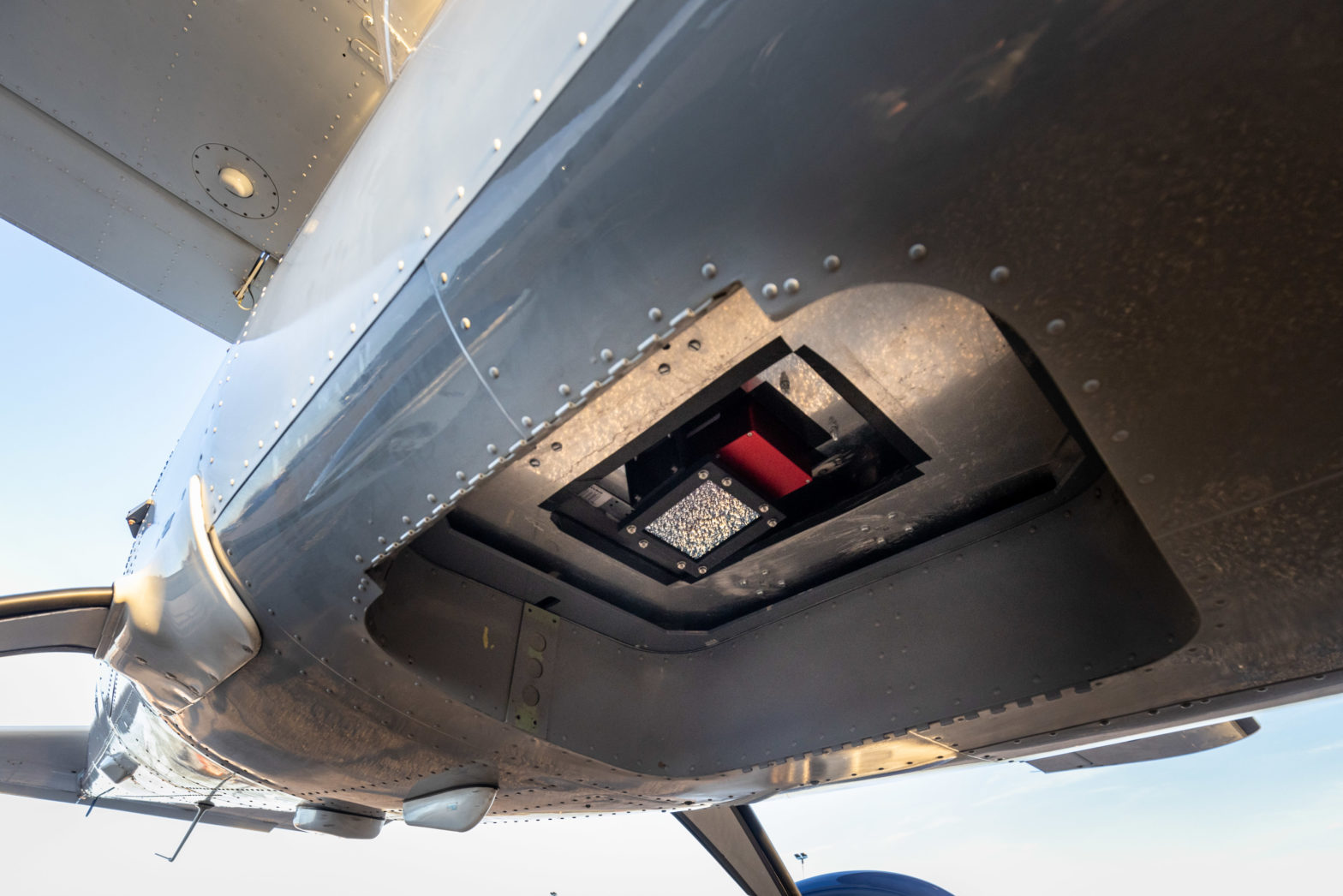
Photo: Satellite Vu
‘Flying thermometer’ helps Leeds prioritise building retrofits
09 May 2023
by Sarah Wray


Photo: Satellite Vu
09 May 2023
by Sarah Wray
New aerial thermal imaging technology has been used for the first time in the UK in Leeds to map the level of heat loss from individual buildings.
During a test flight, a specially equipped aircraft mounted with an advanced thermal imaging camera flew over Leeds to gather data.
According to Satellite Vu, its technology offers an “unprecedented level of detail and scale”, allowing local authorities to more effectively target funding for retrofitting homes.
Founded in 2016, Satellite Vu is aiming to be “the Earth’s thermometer from space”.
The company is launching a satellite constellation which it says is capable of measuring the thermal emissions of buildings in near real-time wi...
Unregistered users have limited access to our stories. Register for free now to enjoy Cities Today without restrictions.
Already a subscriber?
| Cookie | Duration | Description |
|---|---|---|
| cookielawinfo-checbox-analytics | 11 months | This cookie is set by GDPR Cookie Consent plugin. The cookie is used to store the user consent for the cookies in the category "Analytics". |
| cookielawinfo-checbox-functional | 11 months | The cookie is set by GDPR cookie consent to record the user consent for the cookies in the category "Functional". |
| cookielawinfo-checbox-others | 11 months | This cookie is set by GDPR Cookie Consent plugin. The cookie is used to store the user consent for the cookies in the category "Other. |
| cookielawinfo-checkbox-necessary | 11 months | This cookie is set by GDPR Cookie Consent plugin. The cookies is used to store the user consent for the cookies in the category "Necessary". |
| cookielawinfo-checkbox-performance | 11 months | This cookie is set by GDPR Cookie Consent plugin. The cookie is used to store the user consent for the cookies in the category "Performance". |
| viewed_cookie_policy | 11 months | The cookie is set by the GDPR Cookie Consent plugin and is used to store whether or not user has consented to the use of cookies. It does not store any personal data. |
You have reached the limit for the basic subscription. Please upgrade to Premium to download more
You have reached the limit for the basic subscription. Please upgrade to Premium to save more