Boston launches Curb Lab to digitise and coordinate kerb space
20 February 2026
by William Thorpe
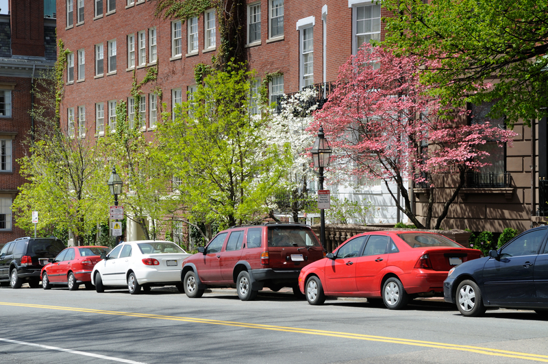
Boston is deploying artificial intelligence and open data to bring real-time visibility to one of the most complex and contested parts of the street–the kerb.
The City of Boston has launched the Curb Lab, a cross-department initiative led by the Office of Emerging Technology to create and maintain a live digital understanding of parking regulations and build tools that help residents navigate them. The programme is designed to dynamically manage kerb space, reduce congestion and improve accessibility across the city.
For Michael Lawrence Evans, Director, Office of Emerging Technology, the drivers behind the initiative span multiple operational pressures.
“All of the above,” he told Cities Today, when asked what specific operational problem made the Curb Lab a priority–congestion, enforcement gaps, safety risks, or fragmented data. “Consider how often we rely on, use, or need information about a kerb where you live–the kerb is central to advancing our transportation planning challenges.”
Evans said the advent of rideshare, e-commerce delivery, more drivers in Boston than five years ago, and a continued commitment for accessibility have fundamentally changed kerb activity over the past decade. While the Curb Lab represents a new and focused solution, he stressed it builds on Boston’s historical effort to improve parking and kerb usage.
The initiative has been made possible by recent investments in the City of Boston’s technology stack. Three years ago, Boston stood up its own asset management platform, creating a live database of every sign in the city. Over the last year and a half, SMART grant funding from the US Department of Transportation enabled the city to build AI tools that leveraged that sign data to produce a digital kerb map.
“These technological developments set the stage for the Curb Lab; and create new opportunities for the City of Boston to share information, solve problems, and serve our residents,” Evans said.
The Curb Lab will convert hundreds of years of parking rules and historical information into a citywide digital map of parking regulations. With a publicly accessible database, residents will be able to quickly and reliably answer a simple question: can I park here?
Success will be measured not only by launching the platform, but by measurable improvements in accessibility and traffic flow. Evans said the team is developing new approaches to capturing metrics, many of which have never been reliably recorded before, and is exploring more privacy-preserving technologies alongside existing camera-based solutions.
“We see accessibility as a result of good kerb productivity: high occupancy rates with high turnover rates,” he said. “We want as many people to get as close to their destination as possible, but once occupancy creeps too high up and we see dwell times and dwell time violations rise, that’s when traffic becomes impacted.”
To improve traffic flow, the city will focus on behaviours known to reduce it, including cruising, double-parking events, idling minutes and lane minutes blocked, alongside measures such as traffic volumes and average signal control delay.
The initiative has also required governance changes to connect historically siloed kerb and parking systems. Boston established a Curb Coordination Committee and leveraged its open data portal to prototype and build foundational components before bringing stakeholders into later-stage discussions.
“This is where things get really exciting–and it goes well beyond the kerb,” he said. “Because kerb management is inherently multi-modal, building this foundation opens the door to thinking much more holistically about a city’s mobility challenges, including safety.”
He added that better access to kerb information could fundamentally shift how residents experience public infrastructure, moving the relationship “from anxiety and defensiveness–worrying about tickets and towing–to trust and confidence navigating public space.”
Image: Jorge Salcedo | Dreamstime.com