
Singapore tests visual positioning for city operations
05 October 2026
by Jonathan Andrews
Singapore is exploring whether its national geospatial data can be used to create a nationwide visual positioning system (VPS), potentially avoiding the need to map the city from scratch.
The Singapore Land Authority (SLA), the country’s national geospatial and mapping agency, is working with Niantic Spatial on a feasibility study that will test the technology across Singapore’s dense urban environment. It will combine SLA datasets, including aerial imagery and nationwide 3D point clouds, with computer vision and visual positioning technology.
Singapore already has national high-precision positioning infrastructure through SLA’s SiReNT network, which provides centimetre-level positioning for applications including surveying and construction.
“If the pilot is successful, we will look into deploying VPS to support location-based services in smart infrastructure, autonomous navigation, urban operations and emergency response, and as part of future geospatial AI applications,” an SLA spokesperson told Cities Today.
VPS uses visual information from the surrounding environment to help devices and machines determine their precise location and orientation, with potential applications for robots and other autonomous systems.
Junji Shiraishi, Director, GTM and Strategic Partnerships at Niantic Spatial, said the study will assess how accurately the technology performs in different parts of the city.

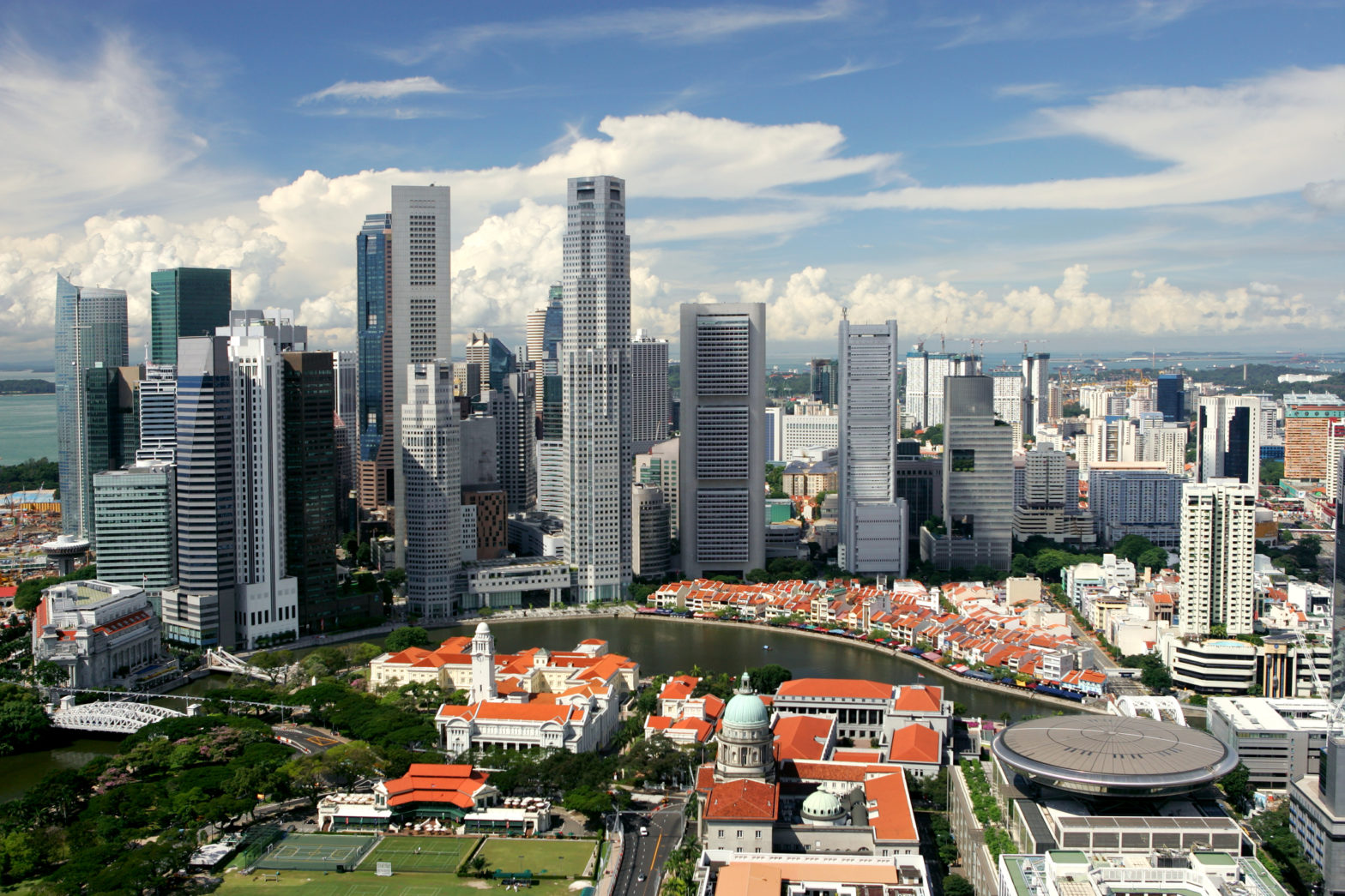
“We will evaluate positioning accuracy across complex urban settings, including high-density skyscraper districts,” he said. “With specific real-world applications in mind, the study will holistically assess key operational requirements for running a city-scale VPS, including positioning precision, usability, and environmental robustness.”
Infrastructure maintenance and robotics will be among the initial areas considered, particularly where autonomous machines require highly precise positioning. The study will also examine potential private-sector uses of the technology.
Another challenge will be keeping the system accurate as Singapore’s physical environment changes. While existing SLA data will form the basis of the initial VPS map, additional mapping could be required in areas undergoing substantial development.
“For areas undergoing significant urban development or physical transformation, we are considering workflows that utilise 360-degree cameras to perform fresh 3D reconstructions and continuously update the VPS map to maintain long-term accuracy,” Shiraishi said.
The collaboration follows a memorandum of understanding between SLA and Niantic Spatial to assess the technical feasibility and potential applications of a national VPS.
Main image: Oksanaphoto | Dreamstime.com